Historic Landscape
Characterisation
The Gwent Levels
18 Rumney
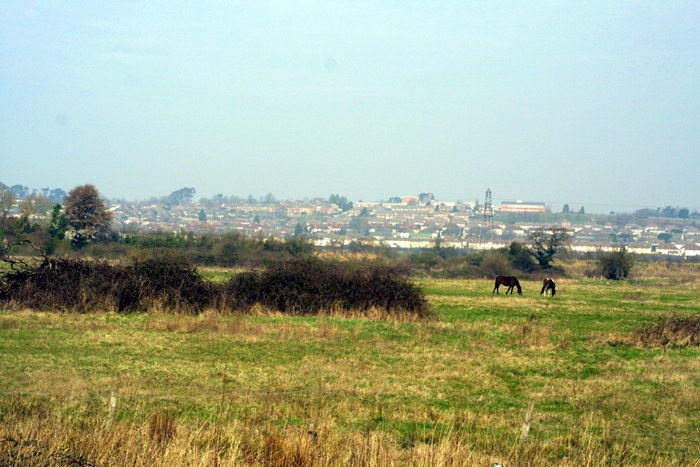
18 Rumney character area: complex "irregular landscape"
with dispersed settlement pattern.
(Photo: GGAT Gwent Levels 050)
Click here for a character area map
This is a landscape typical of piecemeal medieval reclamation, similar to area 15 (Eastern St. Brides).
The manor of Rumney has a wealth of medieval documents relating to sea defences and regulation of the drainage system. A water-mill lay around the mouth of Pill Melyn Reen.
A setting back of the sea wall at Newton, in the late sixteenth century, is one of the few such occurrences to be documented. The wall that was constructed (itself now abandoned) is of great importance (and a Scheduled Ancient Monument).
Key historic landscape characteristics
Irregular field pattern of small irregular shaped fields (preserving
lines of former tidal creeks), site of medieval water mill, sinuous roads
with roadside waste, dispersed settlement with a small hamlet at Newton,
seawall
This landscape occupies the higher coastal land to the south-west of Wentlooge, and extends around the lower-lying fen-edge to the north of Pill-du Reen. Areas 7 and 19 lie to the south/east.
The landscape is characterised by small irregular shaped fields, incorporating the meandering lines of former tidal creeks; Pill Melyn is typical, and was used for a medieval water mill. The roads are sinuous and had an abundance of roadside waste. Settlement was dispersed, with a small hamlet at Newton.
This is a landscape typical of the coastal zone of the Levels, containing many landscape features. There has been considerable development, and many of the areas that remain in agricultural use have been greatly improved. The area is also overlooked by housing on surrounding uplands.
Many hedges have been removed, though the lanes tend to be well wooded. The open nature of this landscape affords very little screening for the industrial developments to the north.
However, those areas that have not yet been developed are of great importance
as a buffer zone, between visually intrusive developments to the north/west
and the well-preserved Roman landscapes to the south/east.